Project Description
Gillette Lake near the base of Table Mountain
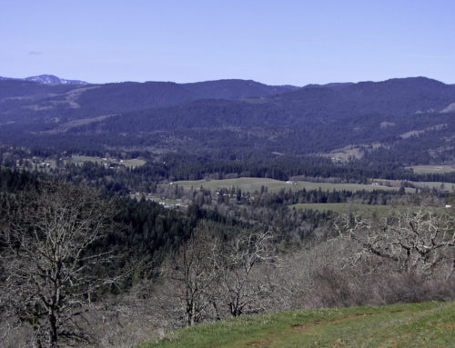
This is a fairly easy hike – the terrain is up and down but no real extremes. The trail starts at the Bonneville Trailhead parking lot which does require a Northwest Forest Parking Pass. The lake is 2.6 miles in and this is not a loop. You must return on the same trail. Most of this hike follow the Pacific Crest Trail. This trail is not very scenic until you arrive at the lake. It goes through some wooded areas and some clear cut areas as well. The clear cut areas happened at different times so there is various stages of regrowth. There are no scenic overlooks of the Columbia River on this trail.
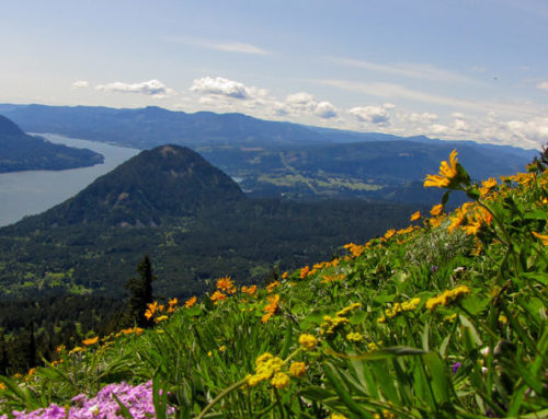
The trail does continue to the top of Table Mountain – a hike I will be taking this summer. I hear there are great scenic areas further up the trail.
Gillette Lake
The lake is a naturally occurring lake that is fed by a creek on the north side. The lake a has a very green cast – it is nearly emerald green in color. I hiked here in February when the trees were not yet leafed out. The lake was very full (some of the shore line trees were under water) and there was no shoreline to walk. Getting around the lake in the winter means following animal trails and it can be very challenging. I entered the lake area by walking down a field of rock on the north side (near the creek that feeds the lake). Then walked around the lake to the south “shore” by climbing over fallen trees and following animal trails. The area is overgrown with blackberries as well. Climbing out on the south side was also challenging and I would not suggest it for beginner hikers. I would really not suggest going down on the south side either. It is very steep.
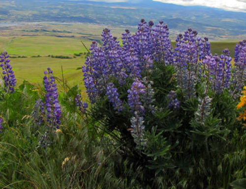
The south side of the lake will give you a view of Table Mountain which is another popular hiking destination in this area.